
Official Yellowstone National Park Map
Navigate Yellowstone National Park with our comprehensive mapping resources. Understanding the park's layout is essential for planning your visit and making the most of your time in America's first national park.
Interactive Yellowstone Map
View Larger Interactive Map
Park Regions and Key Areas
Grand Loop Road forms the main transportation corridor through the park, connecting all major attractions in a figure-eight pattern. The loop spans approximately 142 miles and provides access to the park's most iconic features.
North Entrance (Gardiner, Montana) - Open year-round, this entrance provides access to Mammoth Hot Springs and the northern wildlife corridors.
West Entrance (West Yellowstone, Montana) - The busiest entrance, offering direct access to Old Faithful and the Lower Geyser Basin.
South Entrance (Jackson, Wyoming) - Gateway to Yellowstone Lake and the Grand Teton connection.
East Entrance (Cody, Wyoming) - Scenic approach through the Absaroka Mountains, typically closed in winter.
Northeast Entrance (Cooke City, Montana) - Access to Lamar Valley, renowned for wildlife viewing opportunities.
Major Attractions by Region
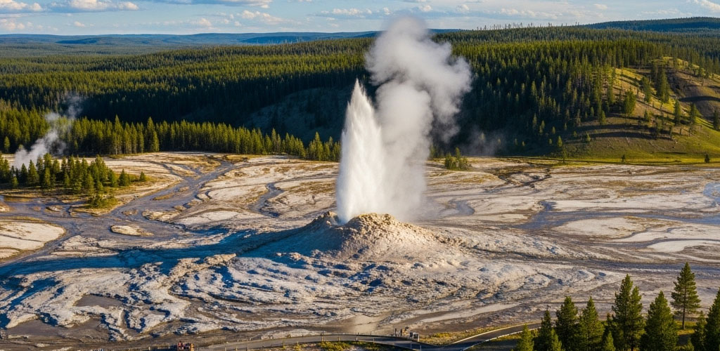
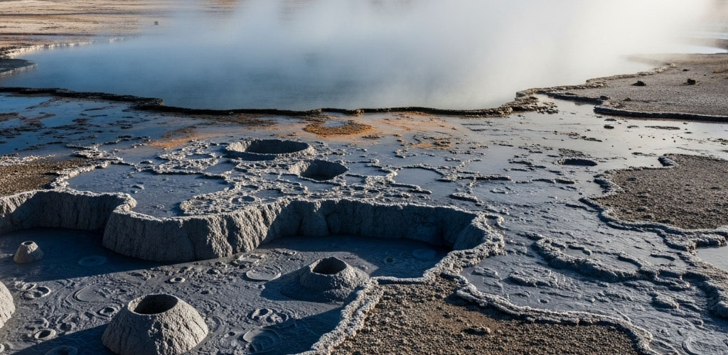
Old Faithful Area: Home to the park's most famous geyser and the Old Faithful Inn. The Upper Geyser Basin contains the world's largest concentration of geysers.
Grand Canyon of Yellowstone: Features the iconic Lower Falls and Artist Point, offering some of the park's most photographed vistas.
Mammoth Hot Springs: Terraced limestone formations and park headquarters, accessible year-round via the North Entrance.
Yellowstone Lake: The largest high-elevation lake in North America, surrounded by pristine wilderness and thermal features.
Lamar Valley: Known as "America's Serengeti" for its abundant wildlife viewing opportunities, particularly wolves and bison.
Planning Your Route
Allow sufficient time for travel between destinations. Speed limits are reduced throughout the park to protect wildlife, and stops for animal jams are common during peak season.
Summer access includes all roads and attractions. Winter access is limited to the northern section between the North and Northeast entrances, with snow coach and snowmobile access to interior areas.
For detailed trail maps, road conditions, and current closures, visit the official National Park Service mapping resources.
Mobile Navigation Tips
Cell service is limited throughout the park. Download offline maps before your visit and consider purchasing a detailed paper map from visitor centers for backup navigation.
GPS coordinates for major attractions are available at visitor centers, and park rangers provide current road condition updates during check-in.